
Wild Game Recovery
Respect the Hunt & Recover your Harvest
NEED TO REQUEST A RECOVERY?
Texting is the fastest way to reach us.
———
Once you text, we will reply with our base pricing, travel fees, and a secure link to our Recovery Request Form. Filling this out immediately allows us to check our pilot availability and determine the technical feasibility of your request.
———
If you prefer to call, please leave a detailed voicemail so we can bypass our spam filter and text you the link.
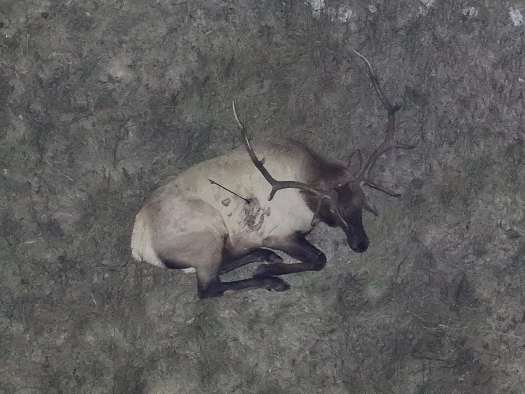
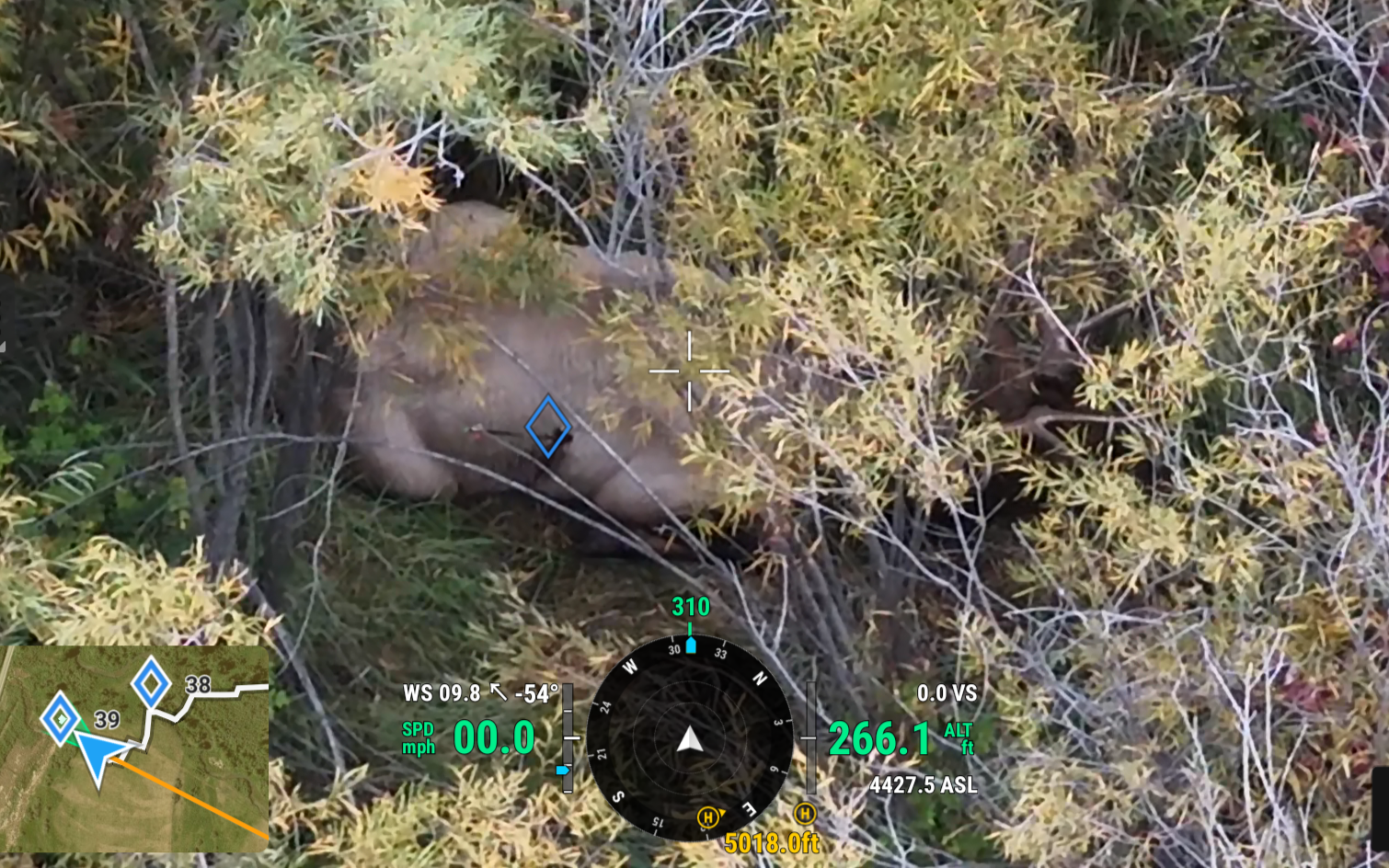
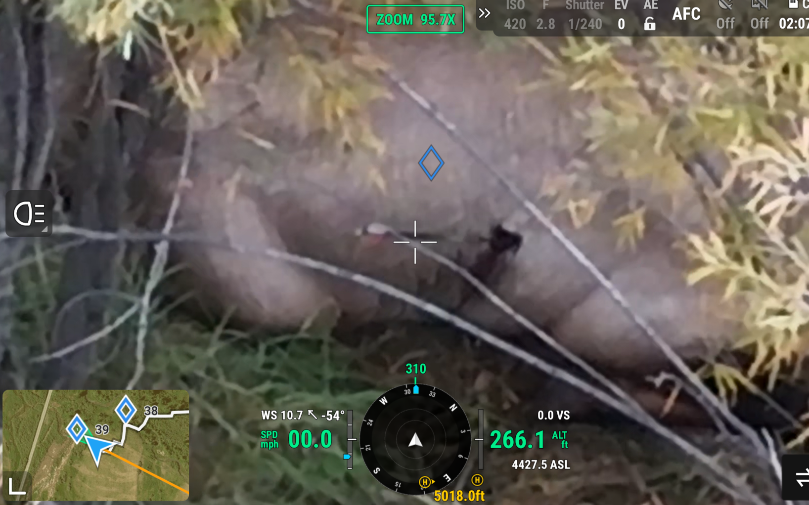
Successful hunts don’t end with the shot. We use thermal drones to search for and locate wounded or deceased animals, even in darkness or rugged terrain. Our service helps hunters reduce waste & overharvest, honor fair chase values, and ensure their harvest is recovered with respect.
Quick Links: Find What You Need
Select a topic below to jump directly to our pricing, process, capabilities, or compliance policies.
How much does it cost?
Providing thermal drone recovery requires specialized equipment, licensed & insured pilots, careful planning, travel and field time. Charging for this service ensures we can maintain high-quality gear, cover operating costs, and continue offering reliable recovery support to hunters when they need it most.
Prices And Descriptions of Services
2-Hour Search Block – $400
This is the base search package and includes up to 2 hours of flight time. Game recoveries rarely exceed 2 hours if the animal is still within the immediate search area. If it’s determined that the animal has moved farther than the initial search area, we are happy to help you keep searching.
4-Hour Search Block (2 additional hours) – $650
If you’d like us to continue searching after the 2-Hour Search Block has concluded, the price for the initial search rolls over to the price for a 4-Hour Search Block.
8-Hour Search Block (6 additional hours) – $950
If you’d like us to continue searching after the 4-Hour Search Block has concluded, the price rolls over to that of an 8-Hour Search Block. Company policy restricts the Operator to 8 flight hours per day, so if the animal isn’t found within the initial 8 hours, the cycle starts over again with another 2-Hour Search Block.
Travel Fee – $1.50 per mile (round trip)
Base Travel Deposit: Calculated using the total round-trip mileage from our Missoula base to your initial meeting location. This must be paid upfront as part of your dispatch deposit.
Operational Field Mileage: Any additional driving required during the operation, such as travel between the initial meeting location and the search site, relocating to different launch points, or traveling to and from local lodging for multi-day searches, will be tracked at the same $1.50 per mile rate and added to the final invoice balance.
Overnight Lodging & Per Diem
Required for operations extending into the next day or located over 150 miles from Missoula.
Billed at the current GSA per diem rate for the specific county and month of operation. Includes lodging cost plus the standard daily meal allowance (M&IE). If local lodging availability forces costs above the GSA rate, the actual cost of lodging will be billed with receipts provided.
Verify Rates: Current lodging rates for your area are available at gsa.gov/perdiem.
Follow-Up Flights – $150 per hour
This applies when the Operator returns to check the status of a mortally wounded animal previously located during an initial search (including return flights following a mandatory 24-hour legal pause). The standard Initial Search Block minimum is waived, and time is instead billed to the nearest 30 minutes and added to your final invoice.
Using Banked Time: Any unused flight time from your initial search block will be applied first to cover the beginning of your Follow-Up flight.
The 90-Minute Conversion: Follow-Up flights are operationally classified as quick status checks. If the animal has moved significantly and the active flight time on the return trip exceeds 90 minutes, the mission is no longer classified as a Follow-Up. At the 91-minute mark, the Follow-Up pricing transitions back into a standard, full-scale recovery search, and the standard 2-Hour, 4-Hour, and 8-Hour search block pricing minimums will apply to continue.
Standby Rate – $75 per hour
This applies to any of the following scenarios: the Customer is late to the initial meeting point; the Operator is asked to remain on-site or nearby between initial searches and follow-up flights; the Operator must temporarily ground the drone due to unsafe flight or ground hazards (see Operational Policy). This time is billed to the nearest 15 minutes and added to the final invoice balance. The Operator reserves the absolute right to cap standby time and terminate the hold at their sole discretion based on scheduling, daylight, or field conditions.
Remote Access Fee – $50 (minimum) up to $ 250 (maximum)
Required if the drone can’t be flown from the Operator’s vehicle. The Operator must remain within visual line of sight of the drone, which is not always possible from the road, depending on terrain. The search equipment is heavy and fragile, making off-road travel more difficult. Minimum charge is $50 to leave the vehicle, with a maximum of $250 and 2 miles from the vehicle. The fee depends on distance, elevation gain, terrain, ground cover, snow cover, etc., and can be estimated before dispatch when provided with accurate search locations but will otherwise be reassessed and finalized after arriving on site and included in the final invoice.
What to Expect
This describes how we transition from your initial request to active field operations and what we need from you to get us dispatched to your search area as soon as possible.
———————
Phase 1: Complete the Recovery Request Form
Once you contact us, you will receive a introductory text with a link to an online Recovery Request Form in order to collect important information for service price estimates and mission planning. A link to this website will also be included if you have any questions.
Contact Info: You will add any relevant contact info for communication and billing. A valid email is required so we can send a service agreement to be signed and deposit invoice to be paid.
Relevant Info: This is where you share meeting location, last known location of animal, animal type, terrain, etc.
Mission Scoping: This data allows us to more accurately estimate initial travel and search costs and to determine the feasibility and availability of a thermal search depending on the situation.
Phase 2: Sign Service Agreement & Pay Deposit
Once your Recovery Request Form is submitted, we can determine feasibility and availability of your search request. If feasible and available we will email you a service agreement and deposit invoice. Securing the deposit and agreement locks your flight block into our schedule and triggers immediate pilot dispatch.
Read and Sign Service Agreement: We send a secure document directly to the email provided in the Recovery Request Form for instant digital signature.
Liability & Terms Clearance: The agreement outlines clear operational boundaries, payment terms, party responsibilities and all other terms.
Pay Deposit: We will also email you an invoice for an initial $100 dispatch deposit plus the initial travel fee (based on the distance to the initial meeting location. This must be paid before we dispatch a pilot to the meeting location.
Phase 3: Mission Planning & Dispatch
Before we depart, we utilize satellite mapping tools & localized weather forecasts alongside the information you provided in the Recovery Request Form in order to plan the best possible search plan for the situation. With the digital planning complete, the pilot loads the specialized thermal equipment and mobilizes immediately.
Satellite Grid Mapping: We program exact boundaries and search grids directly into our flight software based on your last known location.
Topography Study: We evaluate local terrain and road access to plan takeoff & landing zones.
Airspace & Weather Clearance: We check federal airspace restrictions and real-time wind and temperature metrics to ensure safe, legal flight conditions.
Gear Preparation: We pack and secure heavy, fragile thermal sensing drones, backup power stations, monitors for viewing the live thermal feed, headlamps and handheld radios (to coordinate with you and any other ground searchers).
Travel Notification: We notify you upon departure and keep you updated via text or phone on any changes to ETA. If cell service allows, we try to notify when we are between 15 & 30 minutes from the meeting location.
Phase 4: Initial Contact & Mission Brief
Upon arrival, the pilot meets with you for a quick mission brief before putting the drone in the air. This on-site meeting ensures our digital maps are accurate and we have a solid search and communication plan in place.
Terrain & Hazard Verification: We assess real-time factors like wind, power lines, and immediate ground hazards.
Sighting & Search Update: We confirm if there have been any new tracking signs or foot/vehicle traffic since your questionnaire was submitted.
Communication: The group establishes a communication plan using handheld radios or mobile phones to ensure customers and all search team members can stay informed in real time.
Phase 5: Active Search
The pilot launches the aircraft to begin active, systematic scanning. We deploy commercial-grade thermal sensors to detect heat signatures invisible to the naked eye, cutting through brush and dark conditions.
Methodical Gridding: We fly manual grid patterns across the search site, starting near the last known location and working outward, ensuring zero gaps in the area searched.
Live Feed Viewing: You are welcome to watch a secondary high-resolution monitor to view the live thermal feed while the pilot is flying. However, for best search results, minimal engagement with the pilot is advised.
Systematic Territory Clearance: If the animal is not found immediately, we methodically eliminate the areas they could be located in.
Phase 6: If Located…
Whether the animal is spotted or territory is systematically ruled out, we provide you with clean, actionable data to guide your search and recovery.
Visual Confirmation: If we find what appears to be the animal in your description, we will need you to visually confirm that it is indeed the animal you are looking for.
If Located Dead: We can immediately provide you with GPS coordinates for you to use in your own recovery effort.
If Located Alive: Because of Montana hunting regulations (MCA 87-6-208), this is where things can get complicated. The first thing we will do is increase flight altitude and distance from the animal in order to minimize stress on the animal while we observe its condition. We will observe for up to 30 minutes or until your Search Block ends. If the animal expires during our observation, we can immediately provide you with GPS coordinates for you to use in your own recovery effort.
If Located Alive & Healthy: If the Operator determines the animal is either uninjured or not mortally wounded the mission is terminated immediately and GPS coordinates WILL NOT be provided.
If Located Alive & Mortally Wounded: If the Operator determines the animal is mortally wounded, GPS coordinates WILL be provided as the Customer is bound to laws regarding ‘Wanton Waste’. However, due to other Montana hunting regulations, the Customer affirms that they will not pursue this animal at the location provided for 24 hours from last observation (signed in the service agreement). At the Operator’s discretion, the Customer can also opt to request the Operator standby for additional follow-up flights and status checks. See the Pricing section for more information on these additional costs.
Phase 7: Final Invoice & Mission Closeout
Once field operations conclude, we wrap up the administrative side of the mission. We calculate any variable on-site adjustments and deliver your final invoice directly to your inbox once back in reliable service.
Transparent Adjustments: Any accrued mileage past the initial deposit and any other additional fees are compiled cleanly on the invoice.
Invoice & Media Delivery: Your finalized invoice is sent to the email provided, alongside any photos, videos and screenshots of the search grid taken during the search.
Flexible Payment of Balance: Final balances can be estimated in the field and paid for via cash. Regardless, a Final Invoice will be sent upon the operator’s return to Missoula. Any cash payments made in the field will be credited to the Final Invoice. Payment is due upon receipt via Bank Transfer (ACH), credit card, Apple Pay, PayPal, or Venmo. Invoices unpaid after 5 days will incur a $35 late fee, and balances exceeding 30 days are subject to an additional 1.5% monthly interest charge. Accounts passing 60 days overdue will be sent to collections, and the client agrees to pay all reasonable collection and legal costs incurred.
Understanding the Limits of Thermal Drones
While thermal drones are a powerful tool for game animals, they are not a guarantee. Success depends on factors like weather, terrain, animal movement, and how quickly a search begins. In hot daytime conditions, dense cover, or when too much time has passed, searching with thermal drones will be far less effective. We believe in being transparent with our clients—drones can greatly improve recovery chances in the right situations, but they are just one tool among many.
For deer and smaller game, initiating a search within 12 hours is recommended. For larger game like elk, initiating a search within 24 hours is recommended. If the animal is still alive and in the area, it will be far easier to find. If it has died, then there are many variables that affect how quickly a carcass cools and how easy it is to see its thermal signature. Every situation is different. Explore the factors below that drive successful recoveries.
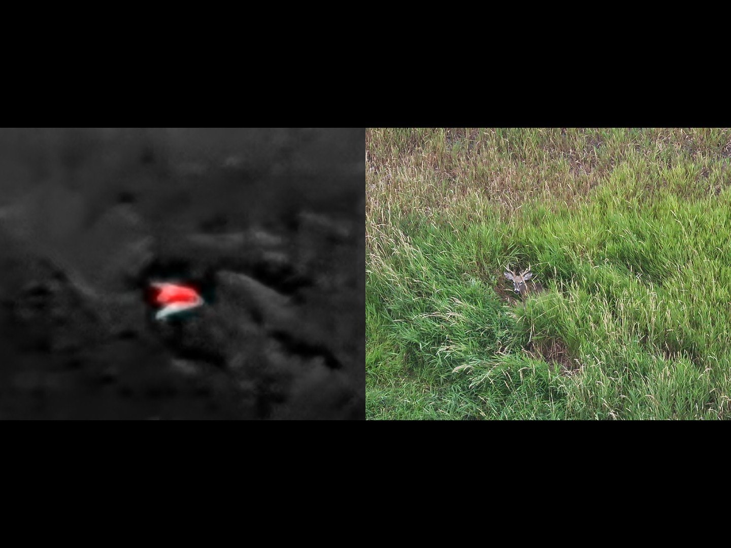
Fast Response Time - starting searches sooner limits the distance a wounded animal can travel, increases the chance of finding a heat signature and increases the chance of finding the carcass intact
Weather - cool, cloudy weather or snow covered ground improves thermal contrast, making animals easier to see
Time of Day - if the weather isn’t cool & cloudy, then early morning and late evening searches work best for finding thermal) signatures, however a visual (non-thermal search can still be effective if in open terrain
Game Size - larger species like elk, deer, antelope & bear provide stronger heat signatures that last longer after death
Game Species Behavior - if still alive, deer usually travel less then elk after being wounded
Known Locations - providing a hit location and having a clear blood trail helps determine movement pattern and can narrow the search area
Terrain - open terrain like pastures, hillsides, or sparse woods make it easier to see to the ground
Access - having permission to search the area without restrictions
Competing Heat Sources - less competing heat signatures in the area such as other game animals, livestock, and animal sized rocks helps to isolate the animal being searched for (rocks that have been in the sun retain heat for a long time)
Factors That Increase Success
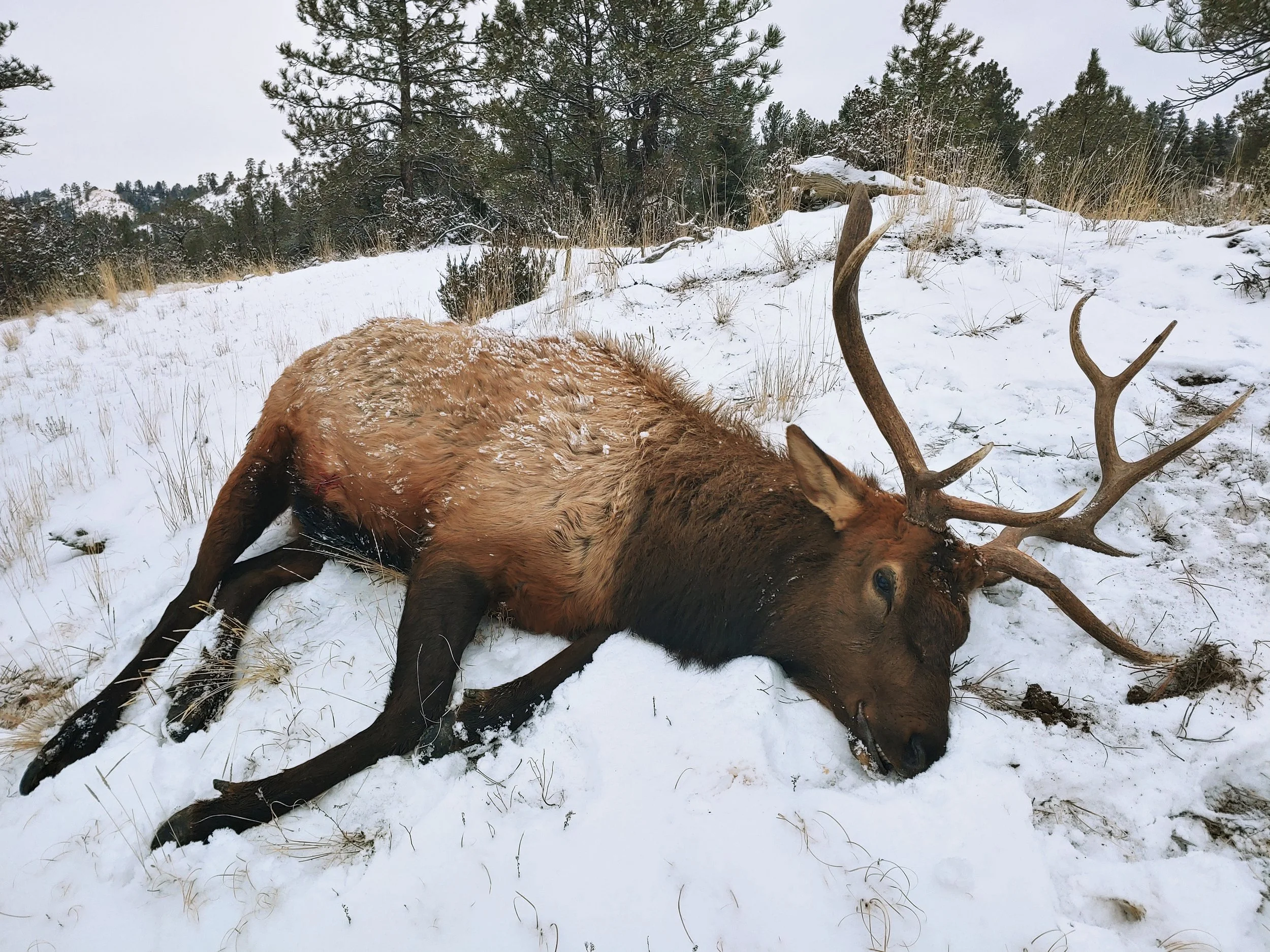
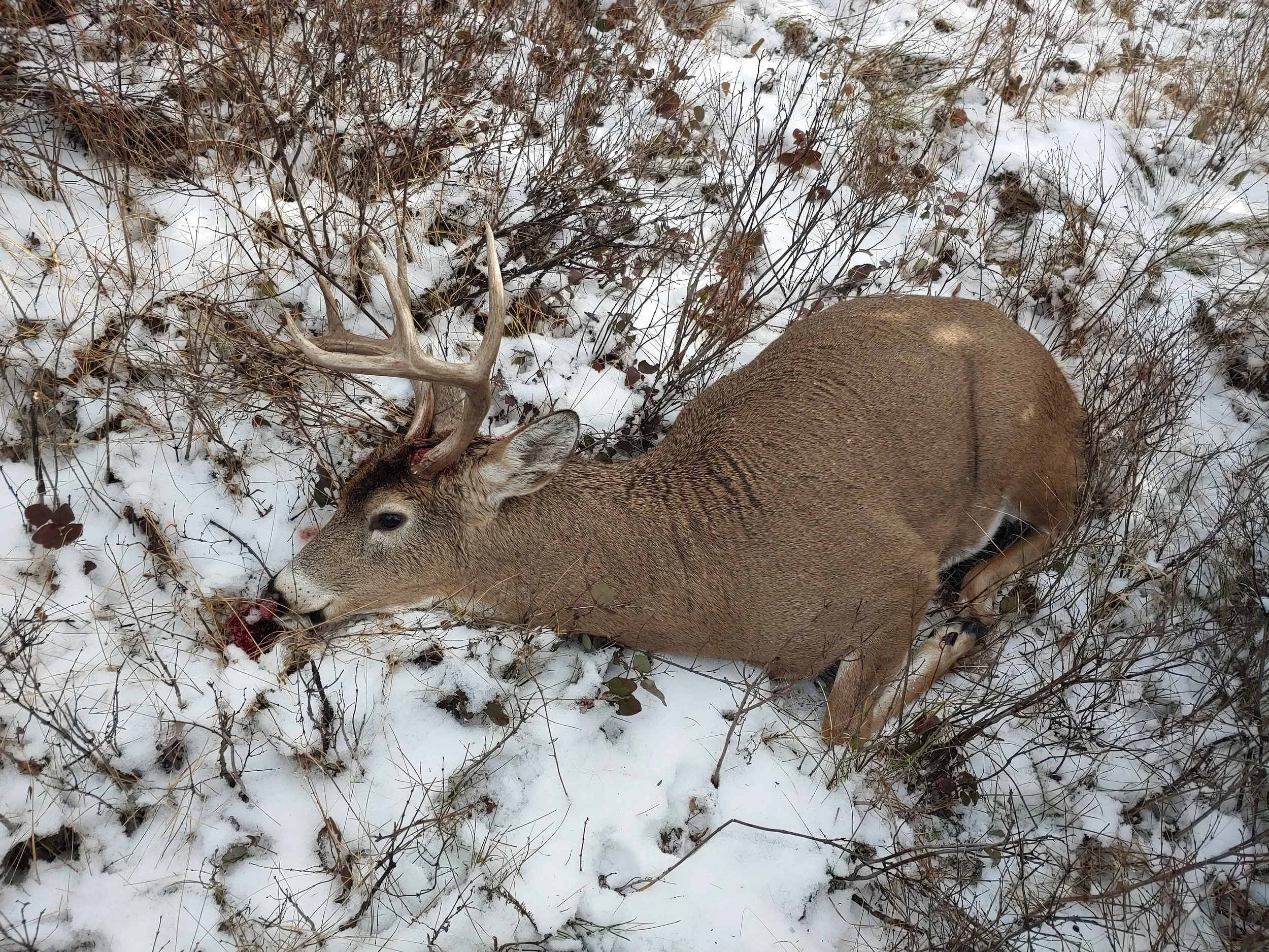
Slow Response Time - starting searches later increases the distance a wounded animal can travel, decreases the strength of the heat signature and decreases the chance of finding the carcass intact
Weather - hot, humid weather decreases thermal contrast, making animals harder to see; bad weather such as rain, snow or fog prevents flight operations
Time of Day - unless the weather is cool & cloudy, then day time searches make it very hard to find specific heat signatures, however a visual (non-thermal) search can still be effective if in open terrain
Game Size - smaller species provide weaker heat signatures that don’t last as long after death
Game Species Behavior - elk are extremely resilient and can travel very far distances after being wounded, even when seriously wounded
Known Locations - not knowing the shot location, blood trail or last track makes it difficult to establish a search area
Terrain - dense forest canopies and heavy brush make it harder to see to the ground
Access - not having permission to search nearby areas limits the search area
Competing Heat Sources - more competing heat signatures in the area such as other game animals, livestock, and animal sized rocks makes it harder to isolate the animal being searched for (rocks that have been in the sun retain heat for a long time)
Factors That Decrease Success
We highly recommend reviewing our Operational Policies & Service Terms to fully understand our pricing structure, in-field flight limitations, and legal boundaries. Click the button below to view the full document.
The Debate Around Thermal Drone Recovery
Using thermal drones to locate wounded or deceased game is a powerful tool, but like any tool, it can be abused. This is a controversial topic of discussion within the hunting and conservation community. While many see it as a way to reduce waste and overharvest, others raise questions about fair chase and how new technology fits into traditional practices.
We recognize that the use of drones for game recovery is a developing issue in Montana and across the country. Our services are focused solely on recovery after the hunt, not on aiding in the pursuit or harvest of animals. We remain committed to operating within state regulations and to working with Montana Fish, Wildlife & Parks to ensure our practices align with both the law and the principles of ethical hunting.
Despite the controversy, we truly believe this is an important tool to enhance conservation outcomes, uphold ethical hunting standards, and strengthen the relationship between FWP, hunters and the public.
Explore the documents below to further understand our perspective and to see the steps we’ve taken to provide an ethical and legal service.
Ready to Recover Your Harvest?
When you text us, you will reply with our base pricing, travel fees, and a secure link to our Recovery Request Form to check our pilot availability and determine the technical feasibility of your request.
Prefer to call? Please leave a detailed voicemail so we can bypass our spam filter and text you the intake link.